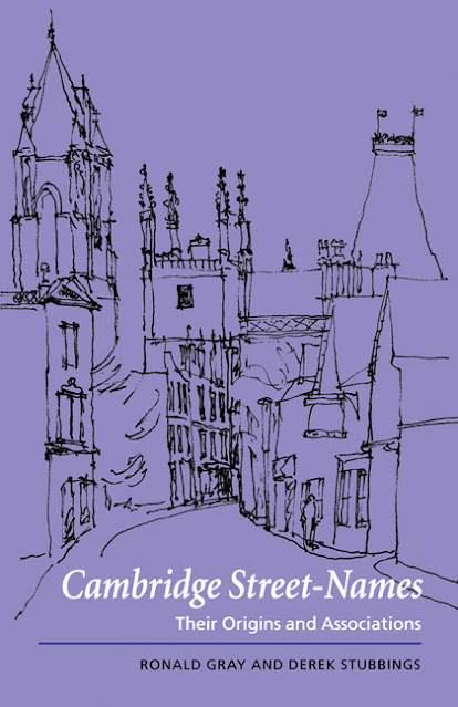
From 'Cambridge Street Names -Their Origins And Associations' by Ronald Gray and Derek Stubbings, 2010:
The only street-name in Cambridge that has connections with prehistoric times is ARBURY Road. The name is spelled Herburg, Ertburg and similar in thirteenth-century documents, and means earthwork. It used to be thought that Arbury Camp, at the north end of the road, was a fort like the one at Wandlebury or the War Ditches at LIME KILN Hill, south of the reservoir (now destroyed) but it is today regarded as an undefended site. A low circular bank and ditch about 100 metres in diameter, it was almost certainly an iron age enclosure for keeping animals safe from wolves and robbers. (See Alison Taylor: 'Prehistoric Cambridgeshire', 1977, and Sallie Purkis, 'Arbury Is Where We Live!', EARO, The Resource Centre, Back Hill, Ely, 1981.)
The book is highly recommended for anybody interested in Cambridge history.
Times change, and modern archaeological digs have indicated that Arbury probably was an iron age fort, rather than the equivalent of a village, and of considerable importance in the area.
Arbury Camp is now occupied by Orchard Park (formerly Arbury Park and, before that, Arbury Camp Farm) and the road following the circular route of the earthwork is called Ring Fort Road.
The course of Arbury Road before the late 1970s when the A14 was built. At that time, King's Hedges Road ceased to be a dead-end leading to the original King's Hedges, a small farm north of the guided busway, swept across the old Arbury Meadows, and lopped off the end of Arbury Road where it linked to the Histon/Cambridge Road. Historically, the 'King's Hedges' name has no place there, nor in the land north of Arbury Road up to the railway line/guided busway. The land was called Arbury or Harborough Meadows, North Arbury/Harborough Furlong, etc. Harborough was a variation on the Arbury name. The Manor Farm was built there in the years following the 1840 Chesterton Enclosures.Arbury Road, 1962: the window cleaner's on his way and children are cycling home from the Manor School. The tops of the trees which lined the Manor Farm drive are visible to the left of the school tower block.


Comments
Post a Comment